Diane Briante profile picture
Diane Briante
New Jersey Local Expert

Last Modified: January 22, 2026

Dayton map

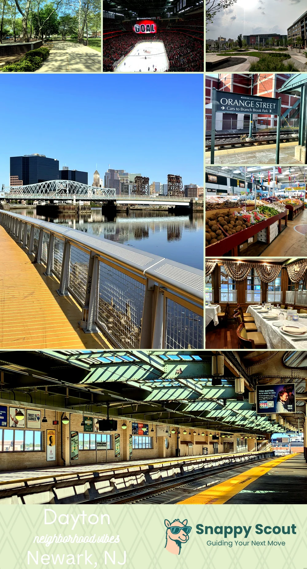
Dayton Neighborhood Overview

Jet Lullabies, Port Cranes, South Ward Soul

🧭Geographically defined by: Weequahic Park and Haynes Avenue to the north, Frelinghuysen Avenue to the west, Routes 1 and 9 and the Newark Liberty Airport runways to the east, Elizabeth border near North Avenue to the south

📌Best known for: runway views, Weequahic Park picnics, unbeatable airport convenience

👕You can spot a Dayton local by: airport employee badges, grill smoke, and year round cooler pride

👍Move here for: quick terminals, big greens, stubborn block pride

👎Don't say we didn't warn you about: takeoff roars rattling picture frames

TLDR;: gritty neighborly parkside runway magic

Neighborhood Hotspots: Weequahic Park South, Airport District, Day Street shops

sunrise joggers and plane spotters

Dayton neighborhood photo collage
Some of the Dayton hotspots include: Independence Park (nearby), Prudential Center (nearby), Mulberry Commons (nearby), Passaic River waterfront access, and Newark Light Rail (Orange Street stop area).
Diane Briante profile picture

Diane Briante New Jersey Local Expert

At Snappy Scout, I combine lived experience with real neighborhood data to cut through the hype and help you make clearer decisions about where to move.

Snappy Scout logo

Moving to Dayton - Make Sense Of Your Next Move

Whether you're new to Newark or deciding which part of the city fits you best, Snappy Scout cuts through the noise and shows you what living here is really like. If you're still finding your way, start with our Moving to Newark guide for the big-picture view — or compare Dayton against other parts of the city in our Newark neighborhood guide.