Chino Canyon Neighborhood Overview
18of 20 Palm Springs Neighborhoods
Where Desert Architecture Climbs the Foothills
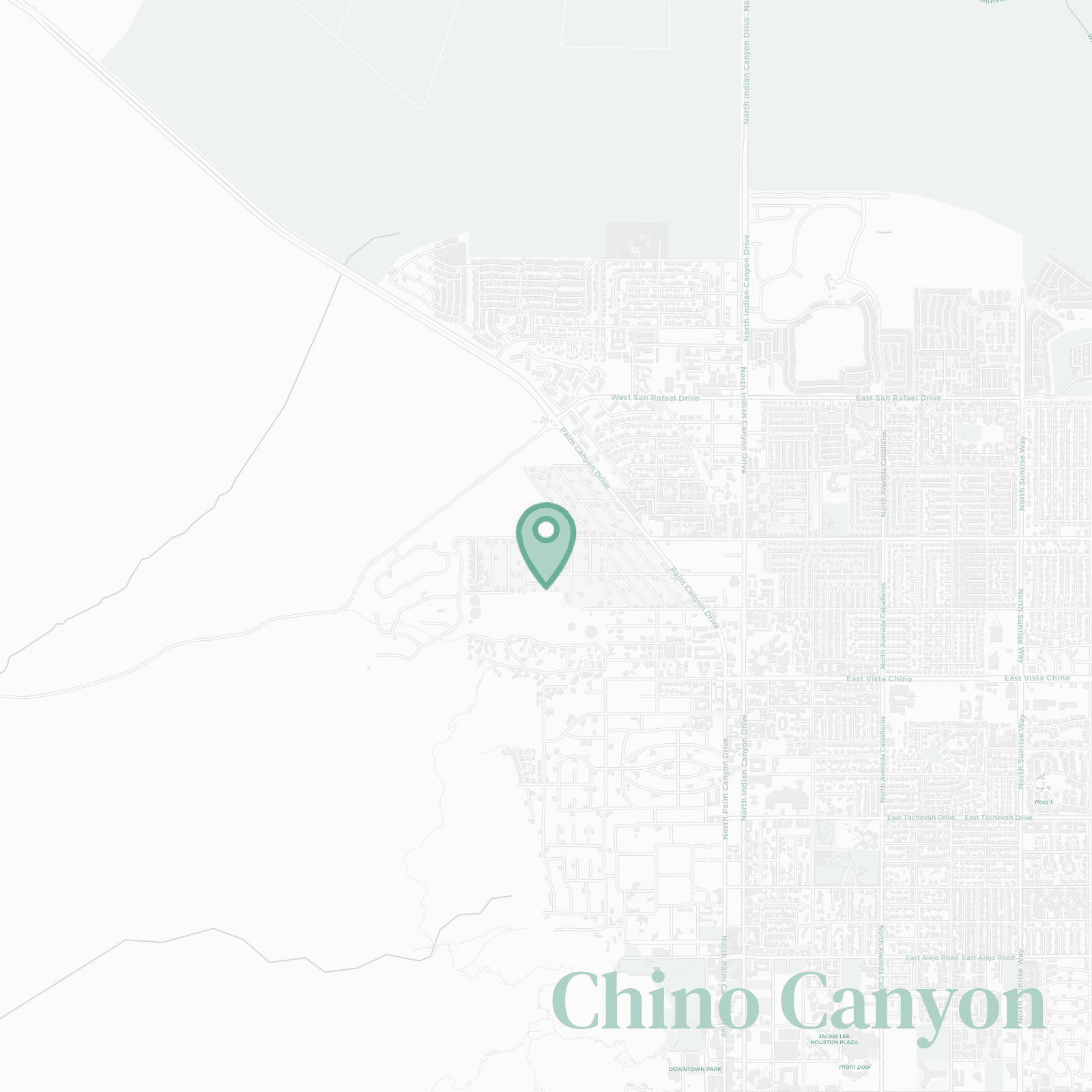
🧭Generally defined as the area: the foothills and flats stretching from the Aerial Tramway base north to Vista Chino, bordered by the mountain face to the west and roughly Sunrise Way to the east
📌Widely recognized as the place for: front-row access to the Palm Springs Aerial Tramway and its rotating climb skyward
👕You can spot a Chino Canyon local by: knowing peak bloom timing better than restaurant openings
👍Locals live here because: proximity to nature outweighs proximity to nightlife
👎Don't say we didn't warn you about: driving for coffee, dinner, and basically everything else
✨The general vibe is: elevated desert living without the spectacle

tram regulars who consider 8,500 feet a casual morning plan

