Laura Gray profile picture
Laura Gray
Virginia Local Expert

Last Modified: January 21, 2026

Chesterfield Heights map

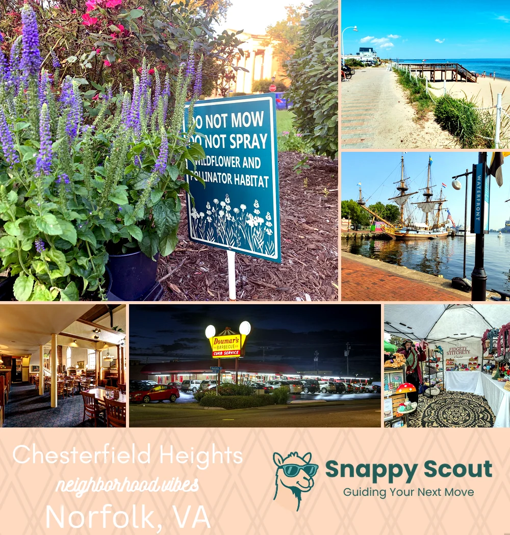
Chesterfield Heights Neighborhood Overview

Porch Gossip, King Tide Boots

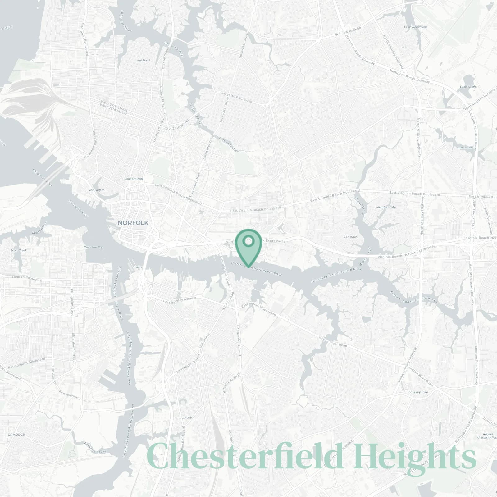
🧭Generally defined as the area: Eastern Branch Elizabeth River along the west shoreline, Campostella Bridge and I-264 to the south, Ballentine Boulevard and Kimball Terrace to the east, Princess Anne Road and Ohio Creek marshes to the north

📌Widely recognized as the place for: Historic prewar cottages and bungalows, Resilience Park experiments, historic architecture, and huge porcues

👕You can spot a Chesterfield Heights local by: Water shoes, folding chairs, tide charts on the fridge

👍Locals live here because: River light, neighbor gossip, quick downtown zips

👎Don't say we didn't warn you about: Sunny day puddles swallowing socks

The general vibe is: Salty serenity, occasional kayak commutes

Porch sittin, flood mapping, sunset flexing pros

Chesterfield Heights neighborhood photo collage
Some of the Chesterfield Heights hotspots include: Stockley Gardens Park (nearby), The Hague waterfront walk (nearby), Town Point Park (nearby), Freemason Abbey Restaurant (nearby), and Doumar’s Cones & Barbecue (nearby).
Laura Gray profile picture

Laura Gray Virginia Local Expert

At Snappy Scout, I combine lived experience with real neighborhood data to cut through the hype and help you make clearer decisions about where to move.

Snappy Scout logo

Moving to Chesterfield Heights - Make Sense Of Your Next Move

Whether you're new to Norfolk or deciding which part of the city fits you best, Snappy Scout cuts through the noise and shows you what living here is really like. If you're still finding your way, start with our Moving to Norfolk guide for the big-picture view — or compare Chesterfield Heights against other parts of the city in our Norfolk neighborhood guide.