Laura Gray profile picture
Laura Gray
Virginia Local Expert

Last Modified: January 21, 2026

Brambleton map

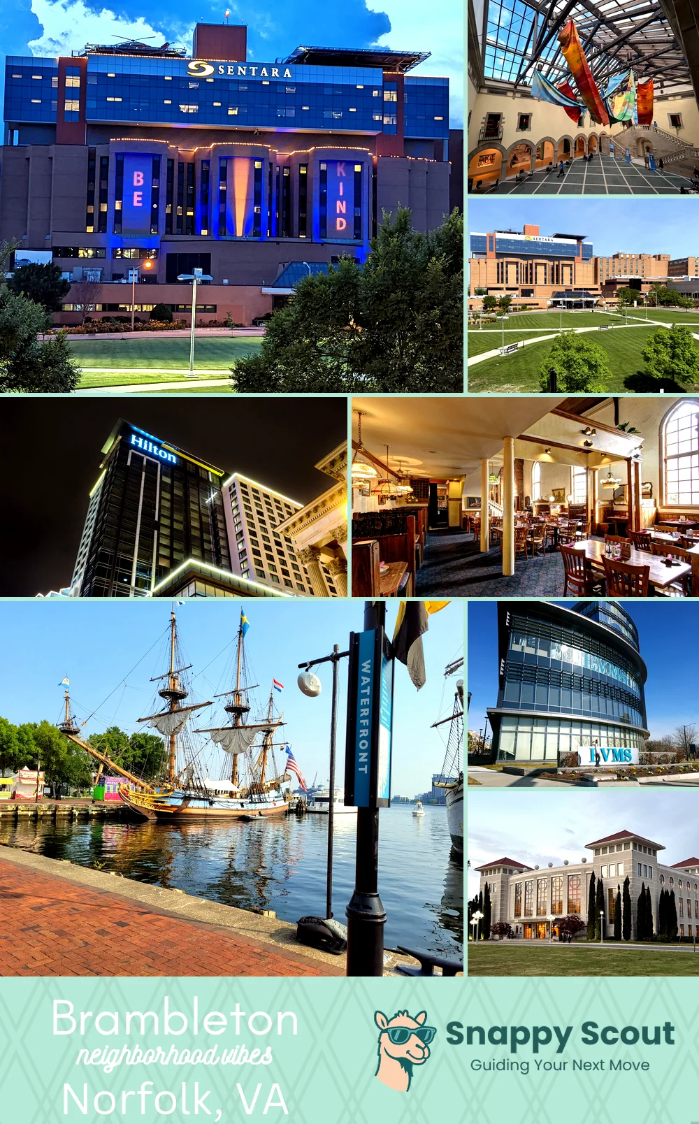
Brambleton Neighborhood Overview

Church St Sizzle, Stoops, And Crab Legs

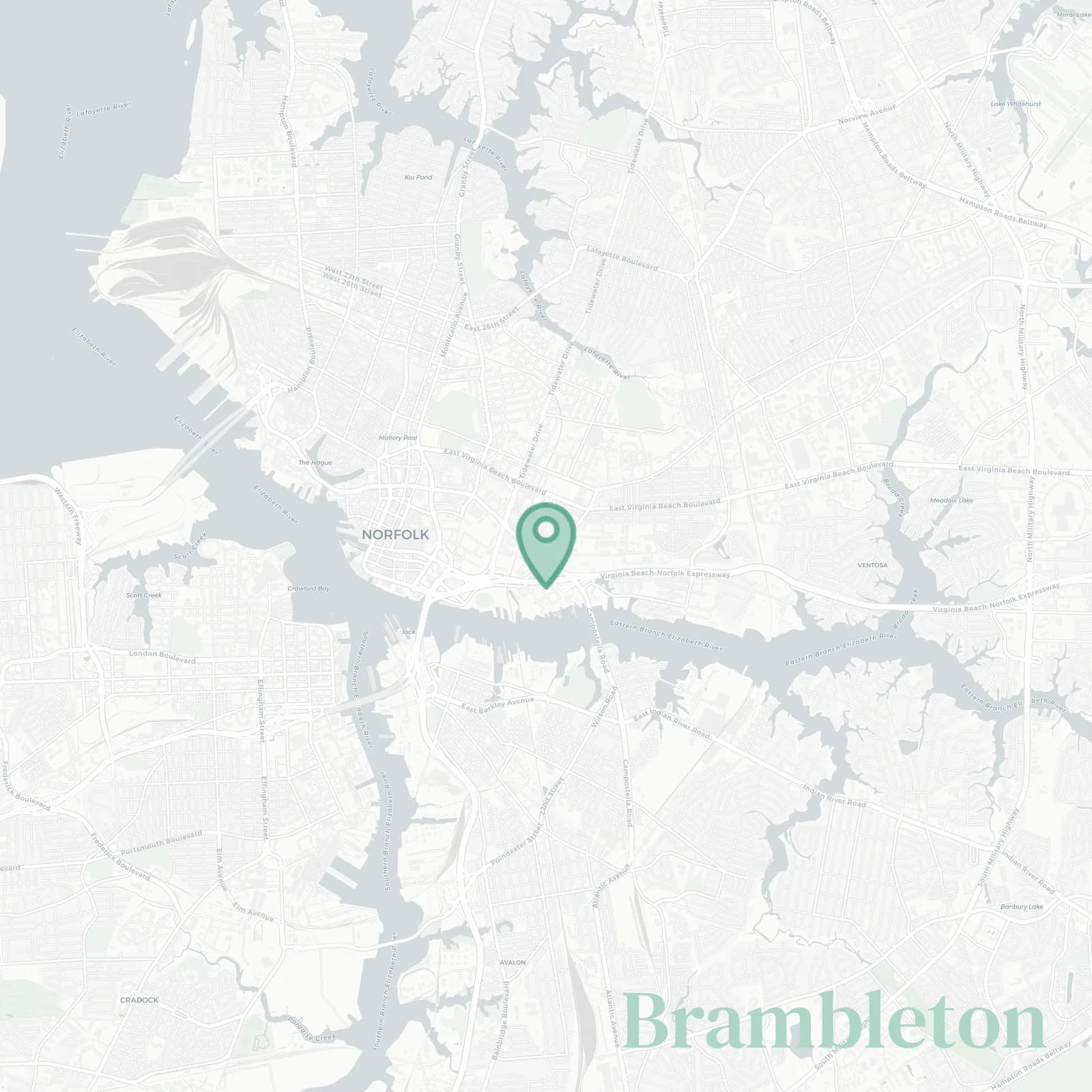
🧭Generally defined as the area: Church Street west, Tidewater Drive east, Princess Anne Road north, Brambleton Avenue and I-264 south, hugging Harbor Park and the St Pauls area

📌Widely recognized as the place for: Corner chicken, church hats, and Spartan Green

👕The neighborhood stereotype is: Church Street storytellers with immaculate sneakers

👍Locals live here because: Downtown views without downtown ego, Norfolk State tuition bills

👎Be prepared for: Sirens and train horns at midnight, roudy football games

The overall feel is: Gritty, changing, stubbornly authentic

Artists on budgets and porch philosophers

Brambleton neighborhood photo collage
Some of the Brambleton hotspots include: Sentara Norfolk General Hospital campus, The Chrysler Museum of Art (nearby), Children’s Hospital of The King’s Daughters (CHKD), The Main (Hilton Norfolk), and Freemason Abbey Restaurant (nearby).
Laura Gray profile picture

Laura Gray Virginia Local Expert

At Snappy Scout, I combine lived experience with real neighborhood data to cut through the hype and help you make clearer decisions about where to move.

Snappy Scout logo

Moving to Brambleton - Make Sense Of Your Next Move

Whether you're new to Norfolk or deciding which part of the city fits you best, Snappy Scout cuts through the noise and shows you what living here is really like. If you're still finding your way, start with our Moving to Norfolk guide for the big-picture view — or compare Brambleton against other parts of the city in our Norfolk neighborhood guide.