Laura Gray profile picture
Laura Gray
Virginia Local Expert

Last Modified: January 21, 2026

Berkley map

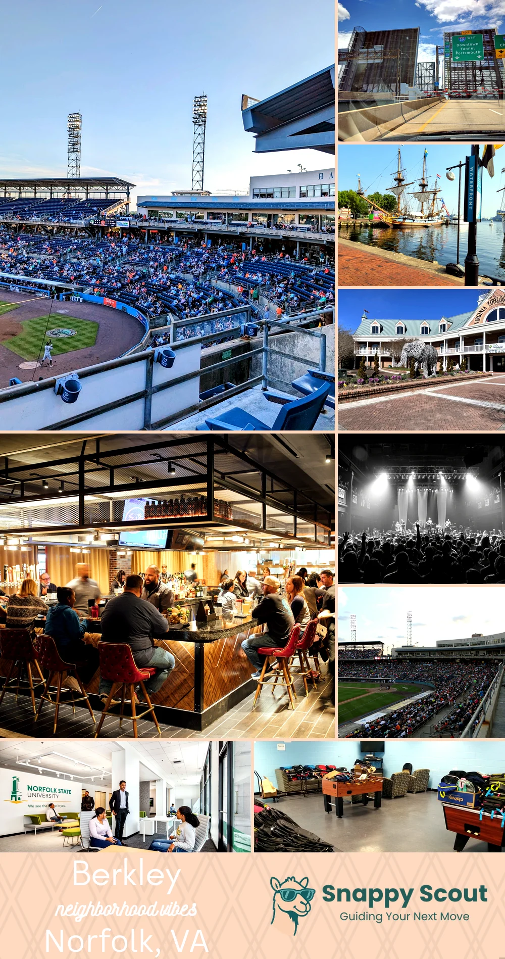
Berkley Neighborhood Overview

Berkley Bridge Jams, Tugboats, Skyline Grit

🧭Generally defined as the area: Eastern Branch Elizabeth River north, Southern Branch Elizabeth River and Norfolk Southern tracks west, I-464 and Freeman Avenue south, Campostella Road and Newton Creek east

📌Best known for: the Berkley Bridge, storied churches, shipyards, original end of the Norfolk Southern line

👕You can spot a Berkley local by: crab pot tans

👍Locals live here because: rent cooperatives and riverside sunsets overperform

👎Don't say we didn't warn you about: train horns at sunrise

The overall feel is: gritty waterfront, heart, hardworking

shipwatchers and barbecue philosophers

Berkley neighborhood photo collage
Some of the Berkley hotspots include: Harbor Park, Berkley neighborhood river views, Town Point Park (nearby), The Virginia Zoo (nearby), and Waterside District (nearby).
Laura Gray profile picture

Laura Gray Virginia Local Expert

At Snappy Scout, I combine lived experience with real neighborhood data to cut through the hype and help you make clearer decisions about where to move.

Snappy Scout logo

Moving to Berkley - Make Sense Of Your Next Move

Whether you're new to Norfolk or deciding which part of the city fits you best, Snappy Scout cuts through the noise and shows you what living here is really like. If you're still finding your way, start with our Moving to Norfolk guide for the big-picture view — or compare Berkley against other parts of the city in our Norfolk neighborhood guide.