Laura Gray profile picture
Laura Gray
Virginia Local Expert

Last Modified: January 21, 2026

Ballentine/Broad Creek map

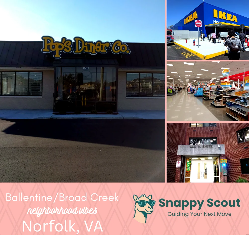
Ballentine/Broad Creek Neighborhood Overview

NFK Tide-Stop, Crab-Pot Wit

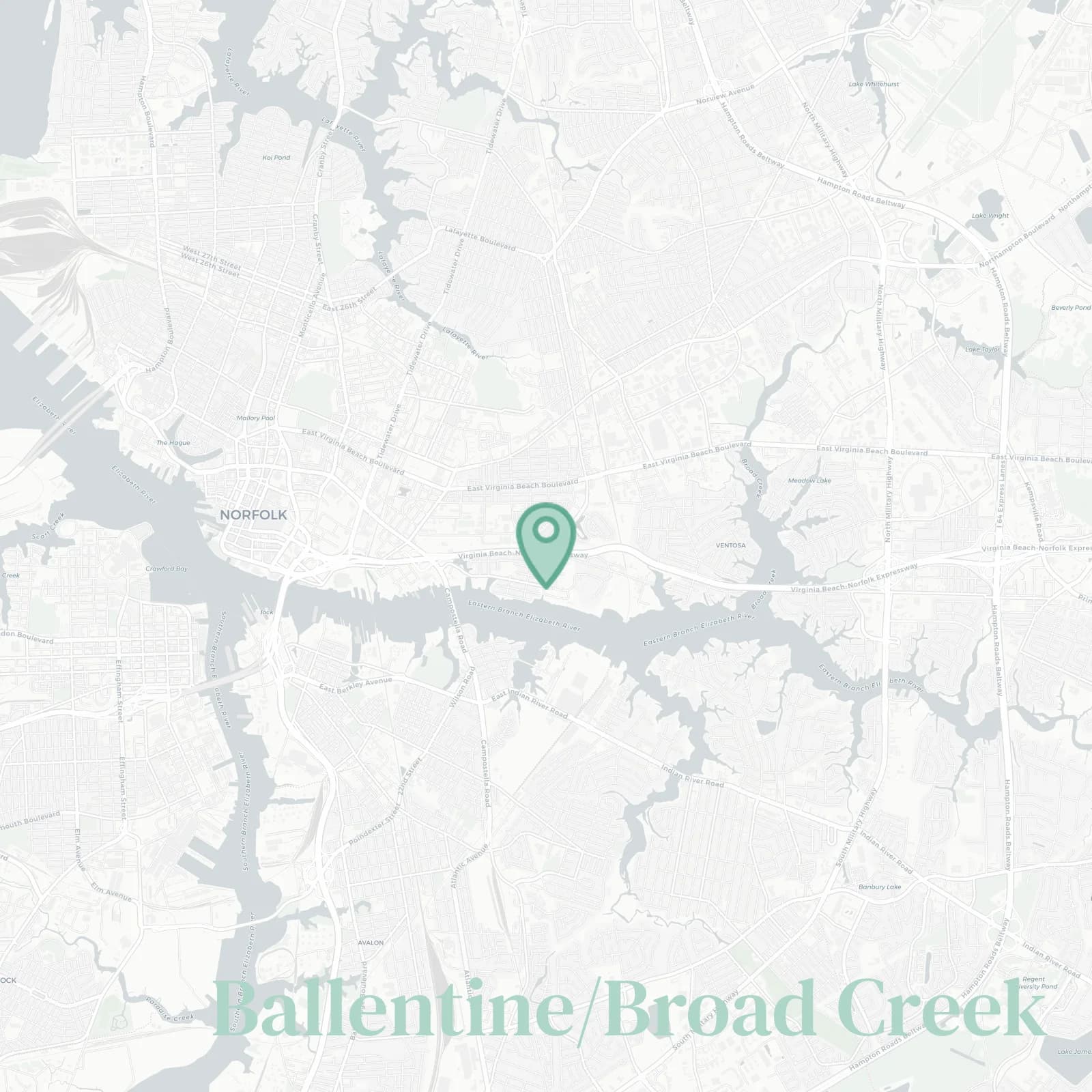
🧭Bordered by: I-264 and Virginia Beach Boulevard north, Princess Anne Road south, Norfolk State and the Eastern Branch Elizabeth River west, Campostella Road and Ingleside Road east

📌Widely recognized as the place for: The Tide station, NSU gameday energy, tidal creek to the Lafayette River

👕You'll fit in if: Green and gold gear, budget geniuses, improbable transit hacks, kayaking paddles in hand

👍Locals live here because: Light rail convenience, quick tunnels, and rent that behaves

👎Be prepared for: Sirens, stadium traffic, and trains that grumble at midnight

The vibe around Ballentine/Broad Creek is: Charged, convenient, scrappy, student-fueled

Transit nerds, NSU alums, late-night pho hunters

Ballentine/Broad Creek neighborhood photo collage
Some of the Ballentine/Broad Creek hotspots include: Pop’s Diner Co. (nearby), IKEA Norfolk (nearby), Military Circle shopping (nearby), and Lake Taylor Park (nearby).
Laura Gray profile picture

Laura Gray Virginia Local Expert

At Snappy Scout, I combine lived experience with real neighborhood data to cut through the hype and help you make clearer decisions about where to move.

Snappy Scout logo

Moving to Ballentine/Broad Creek - Make Sense Of Your Next Move

Whether you're new to Norfolk or deciding which part of the city fits you best, Snappy Scout cuts through the noise and shows you what living here is really like. If you're still finding your way, start with our Moving to Norfolk guide for the big-picture view — or compare Ballentine/Broad Creek against other parts of the city in our Norfolk neighborhood guide.